#015 Strade Rosa Kristianstad
Strade Rosa
Distance: 126km
Height: 1700m
Direction: Any
Percentage: 80% Gravel 20% Road
Style: Gravel roads with some rougher gravel sections
Route designer: Peter Erlingson @petererling67 on Instagram and facebook.com/peter.erlingson.9
Peter contacted GRVL.se a few weeks back and submitted his Strade Rosa route to us.
Having been to the region before I knew it was going to be a good one.
Its way more remote then you would think for the south of Sweden.
I asked Peter some questions and he answered them so well I figured we’d just use his own words to tell the story.
We at GRVL.se think his route looks amazing and can’t wait to try it out!
About the route
126 km, 1.700 m elevation. The route can be divided into three separate routes, each between 40 –55 km.
The segments from 0 – 45 and 86 – 126 km are on nice roads, the middle section is what I call
the ”evil part”: Very hilly and partly on smaller roads of poor quality.
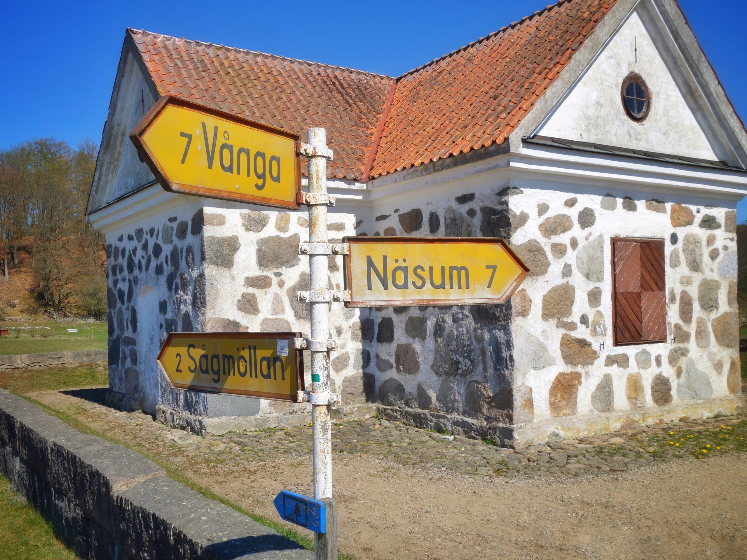
The route starts in Villands Vånga, Kristianstad, at the local football arena.
80 % gravel, 20 % asfalt. No single tracks.

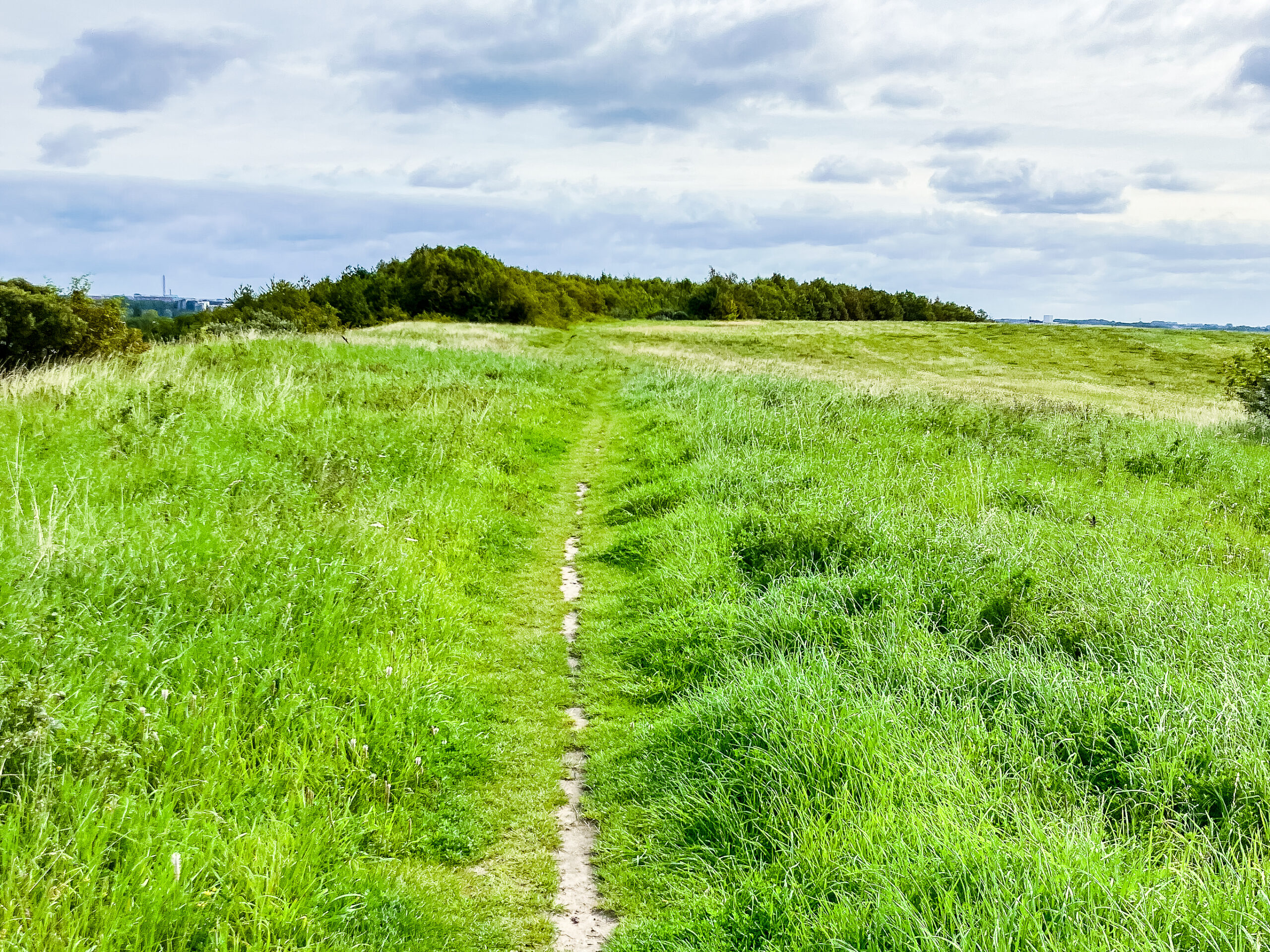
On the border between Skåne and Blekinge, between forests and plains, is an area which offers a
hilly terrain combined with beautiful surroundings. Regardless if you are looking for a physical
challenge or just the beautiful scenery you’ll be satisfied. If you go the whole 126 km you’ll take on
nine climbs of which Råaberget and Västanåberget are the toughest (elev 150 m and steep). Apart
from these bigger climbs the route is constantly up and down on winding roads. A bit like a roller
coaster! On the way, you’ll pass more than ten lakes, including Ivösjön, Immeln, Filkessjön, Halen and
Oppmannasjön; a variety of forests (old/new/leaves/firs – including Christmas trees) but also a
sample of the local farming (apples/pears/strawberries). What you won’t find is what we cyclists
dislike the most: wind and cars. Altogether – the route is very entertaining for a bike ride.
In the area you’ll find a quarry where the famous granite from Vånga is quarried.
Some of the stone gets crushed and are used as a surface on the roads.
The crushing is a bit pink – that’s why I call the route Strade Rosa – inspired by Strade Bianche.

Fika stop?
The route returns to Vånga after 86 km – if you make a small detour in to the village you’ll find a
snack bar (korvkiosk) but in the summer also cafés and restaurants, for instance Vånga 77:1
http://vanga771.se/
In Arkelstorp you’ll find a grocery store.
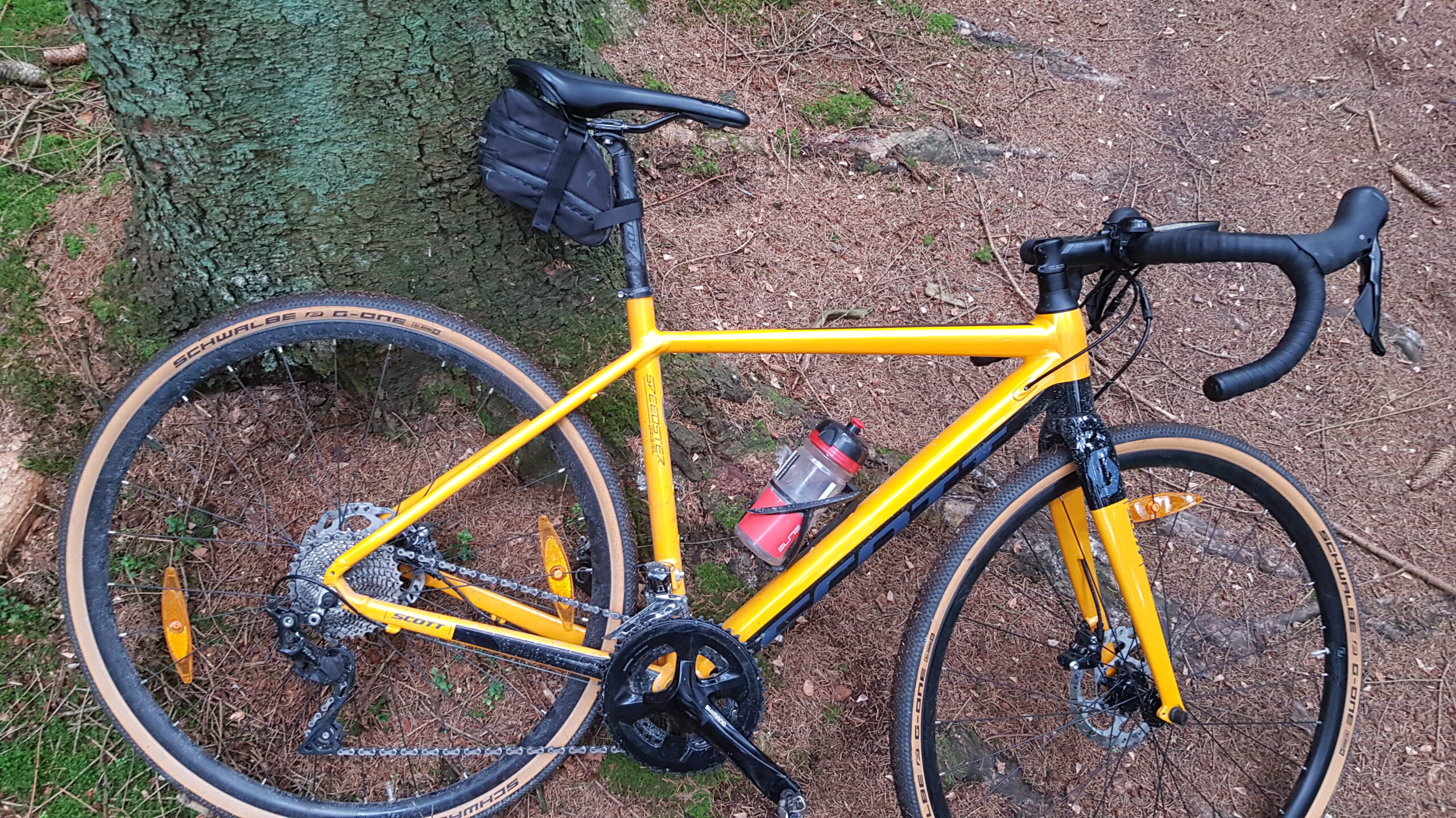
Type of bike?
I use a gravel bike or a road bike. But if I choose the road bike I avoid the segment between
51 – 58km – that part is too rough.
Tyres?
Gravel bike: 35 – 40 mm
Points of interest?
At 120 – 121 km you can make a small detour, go up on Vångaberget, and see the quarry.
It impressive.
In the summer, at 58 km, you can make a detour to Klagstorp and pick cherries(!).
http://nordanvik.se/
Interested in history? – take a look at ”Döda byn”. A village that was abandoned in the middle of the
20th century. https://sv.wikipedia.org/wiki/D%C3%B6da_byn

Do I head out of with friends or a club?
I mostly go alone. But I think this area so good for bike rides that I want others to find it too.
For that reason I arranged a bike race last September – Strade Rosa.
52 participants came – and afterwards most of them were
1) very tired
2) blown away by the roads and by the beauty of the surroundings.
You’ll find all about it here: https://www.facebook.com/events/397497254210567/
There’ll be a new event in september 2020.
How I know the area?
I’ve been live in Malmö for 30 years, but I grew up in the area. We left for Malmö when I was 18.
But part of my family still lives in the area.
When I pay them a visit I bring my bike along and go for a ride.
How did I choose the route?
I’ve explored the area for at least five years, and on every occasion I always try some new roads.
Given that experience I know which roads to choose and to avoid – and how you can combine them.
It may sound a little nerdish but I spend a lot of time thinking about new options and combinations.
So this route is the result of years of planning and exploring.
And in my planning I try to maximise the elevation, not the distance.
Related Posts
Hi people at GRVL. I truly love and appreciate this initiative! I am happy to have discovered this as I am an avid cyclist from Belgium. I was wondering if you could share the GPX file for this route on the website. I don’t have a paying subscription to all the current popular routing apps (Not RWGPS). Happy to explore new gravel routes, especially in Skåne! And happy to help explore if you ever need a ride tested or checked out!
Hello Bert,
If I may have your email I can send you the route as a GPX-file. I also have made a new route for 2020 years edition of Strade Rosa which you may try as well!
peter.erlingson2@gmail.com
This is an alternative version of Strade Rosa. A bit rougher but still very beautiful. Enjoy!
https://ridewithgps.com/routes/31502114
Hej Peter. Is there a good shelter / camp on the route if you want to break it into 2? Kristian