Distance: 125 km Height: 1 363 m Direction: Anti-Clockwise Percentage: 85% gravel Style: Gravel Riding…
#034 The Sörmland Project
#034 The Sörmland Project
An adventure around the county.
Distance: 570 km
Height: 4 412 m
Direction: Anti-Clockwise
Percentage: 70% gravel
Style: Gravel Riding
Designer: Michael O’Dwyer

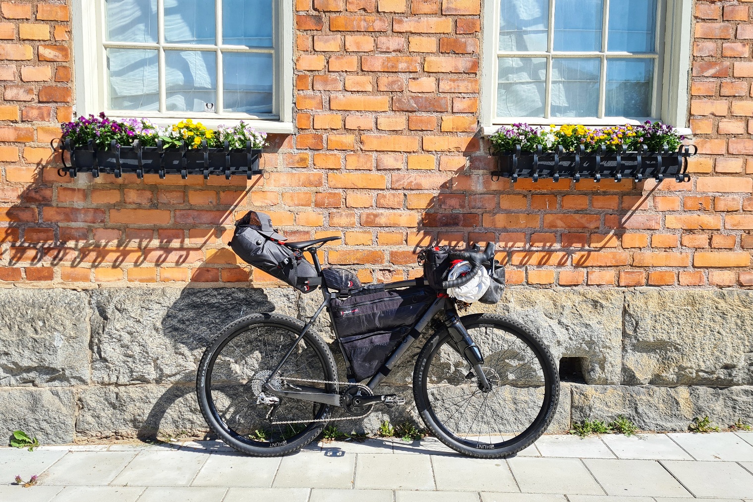
Corona arrived, international trips were cancelled, staycations and trips closer to home became the norm. For the last part I wasn’t disappointed. It gave me the perfect excuse to cycle around my favourite part of Sweden, Sörmland. The län south of Stockholm offers incredibly diverse landscapes taking you from the deep forest to the relaxed vibs on the coast. Using all my knowledge I had of the county I set about designing the best route I could. I wanted it to be ride-able for all, to be able to pull a child’s cart behind you but still visit beautiful and unique locations. Hence, the Sörmland Project was born.

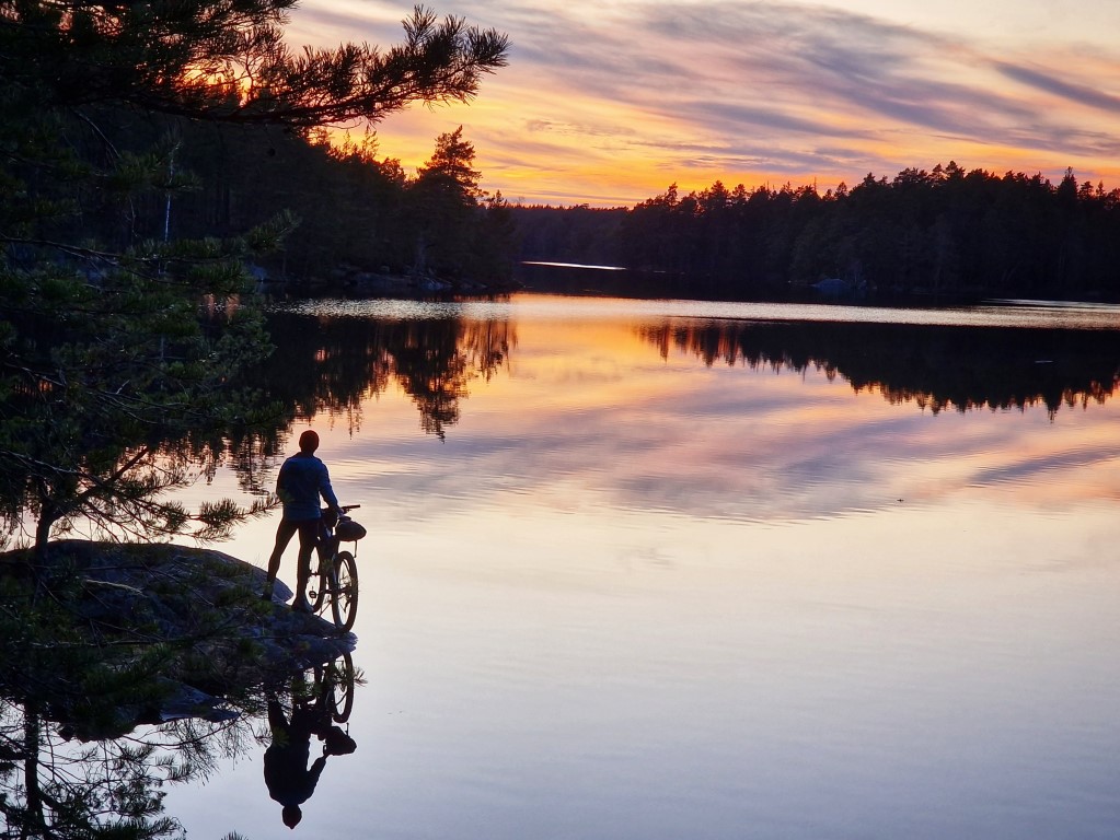
You think you know a place until you jump on your bike and cycle through it. Maps can tell you a lot but not all. They won’t show you the vibrance colours of the fields, blueness of the water, or where you’ll see your next bit of wildlife. But getting on the road and exploring will. Fast enough to get to places but slow enough to take it all in. Sörmland awaits.

The Sörmland Project was designed as a single bikepacking route but has been cleverly directed to pass through several train stations. As a result the trail naturally breaks up into several shorter sections. We rode the tour in 6 days. But go at your own pace and as long as you want. Stage 1 could be a great short weekend break. Stage two is great for those who want to expand their bikepacking skill. Stage 3 is for those wanting to put in longer miles. And stage 4 has a great cultural draw with some of the more advanced riding at the end. ( easily skipped ).

Stage 1: Gnesta to Eskilstuna
Distance: 81km
Height: 747m
Transport: Pendaltåg to Gnesta. Mälartåg back from Eskilstuna.
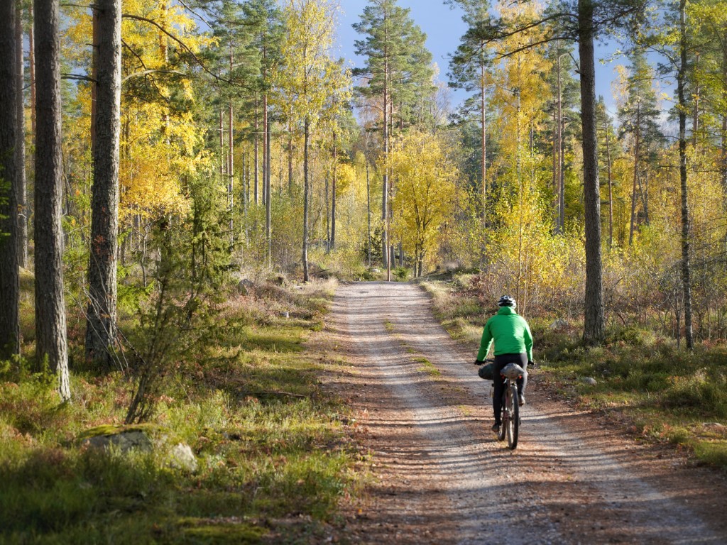
Starting in Gnesta, the gateway to wild Sörmland, great gravel riding through rolling hills and deep forest awaits. A long ex-railway line has you cruising into Eskilstuna to finish off this part of the tour. A detour down to Marvikenan would provide a great place to camp.

Stage 2: Eskilstuna to Katrineholm
Distance: 112km
Height: 978m
Transport: Mälartåg stops in both Eskilstuna and Katrineholm. ( two different lines )
A previously unknown part of the route which gave us fantastic riding in new surroundings. Coming out of Eskilstuna enjoy the easy single track forest section in Vilsta before the 10km of road taking you to Hedlandet. This is where the adventure begins with excellent riding all the way to Fiskeboda. This is the halfway point of this section so it could be an ideal place to camp ( paying campsite ). From here the trail takes interesting gravel roads bringing you through Vingåker and down to Katrineholm. Great gravel riding.

Stage 3: Katrineholm to Nyköping
Distance: 231km
Height: 1811m
Transport: Mälartåg stops in both Katrineholm and Nyköping. ( two different lines )
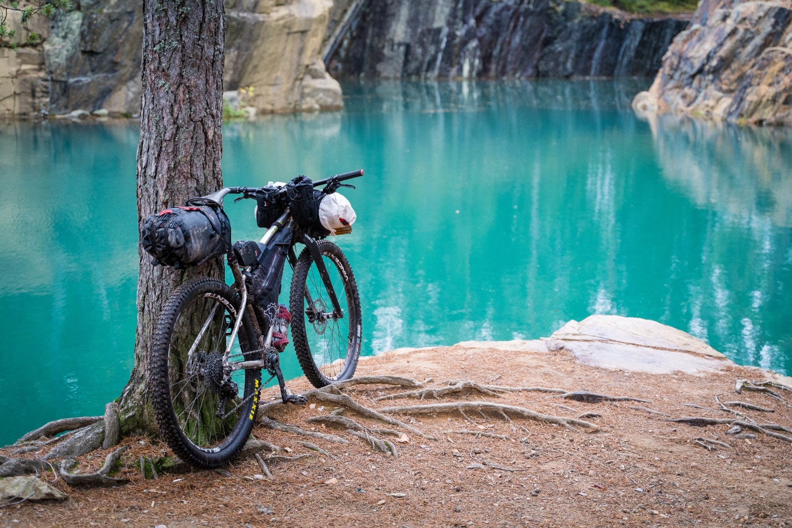
This is a long section and is divided up into 3 distinct sections. Katrineholm to Malmköping gives great and remote gravel biking. 72km and is worthy of a trip alone. Malmköping to Jönåkers is mostly asphalt road (78km). The large lakes of Sörmland compress us into using the only roads heading north to south so we don’t really have an option. But the roads are quiet, scenic and a relaxing way to take us to the next mini section. Another previously unknown part was from Jönåkers to Oxelösund. You are transported back into the deep forest again for excellent riding, tipping the coastline before arriving in the port town of Oxelösund. There is a train station here but it is not on the Mälartåg so it’s best to take the easy ride up to Nyköping where you have more transport options. The forest east of Nävekvarn has some of the best riding of the entire route!

Stage 4: Nyköping to Gnesta
Distance: 140km
Height: 1100m
Transport: Mälartåg in Nyköping and either the Mälartåg or Pendaltåg in Gnesta.

Related Posts
This Post Has 0 Comments