#017 The Heart of Södertörn
The Heart of Södertörn, Stockholm.
( Updated map 2020-06-14 )
Distance: 74km
Height: 721m
Direction: Clockwise
Percentage: 75% Gravel 25% Road
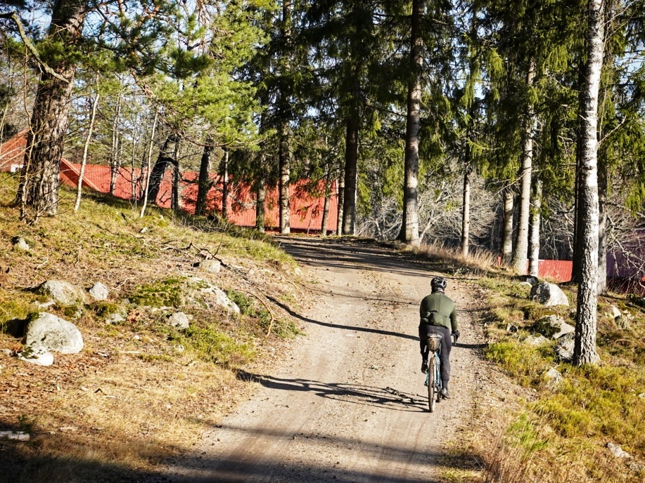
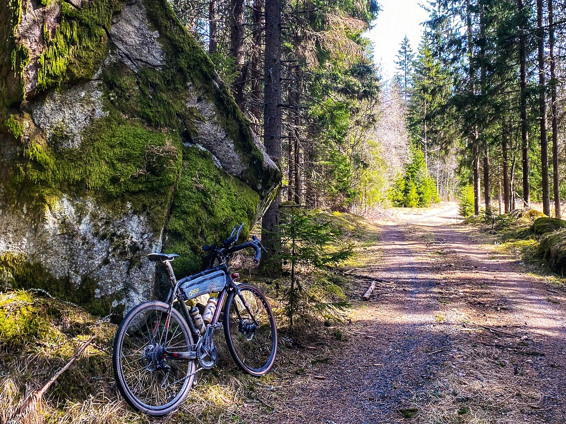
Style: Gravel roads and single track
Route designer: Michael O’Dwyer
I’ve spent the past few years staring at the map trying to map out a “best of” loop in South Stockholm. I could never figure it out. But recently, by chance, I zoomed in on the difficult section and finally found the missing link. The result is a 74km, 75% off road tour taking you on some of the best gravel Södertörn has to offer.

Something most people look over is that Södertörn is in fact an island. It stretches from Södermalm in the north to Södertälje in the west and Nynäshamn in the south. During the Viking period it was possible to sail between the mainland and Södertörn at Södertälje. But due to the drop of the Baltic Sea’s water level the island became reconnected to the mainland. In 1819 a canal was dug out and a lock was set in place blocking of Mälaren from the open sea. The lock and canal where enlarged and deepened in 1924 to once again relegating Södertörn to its island status.

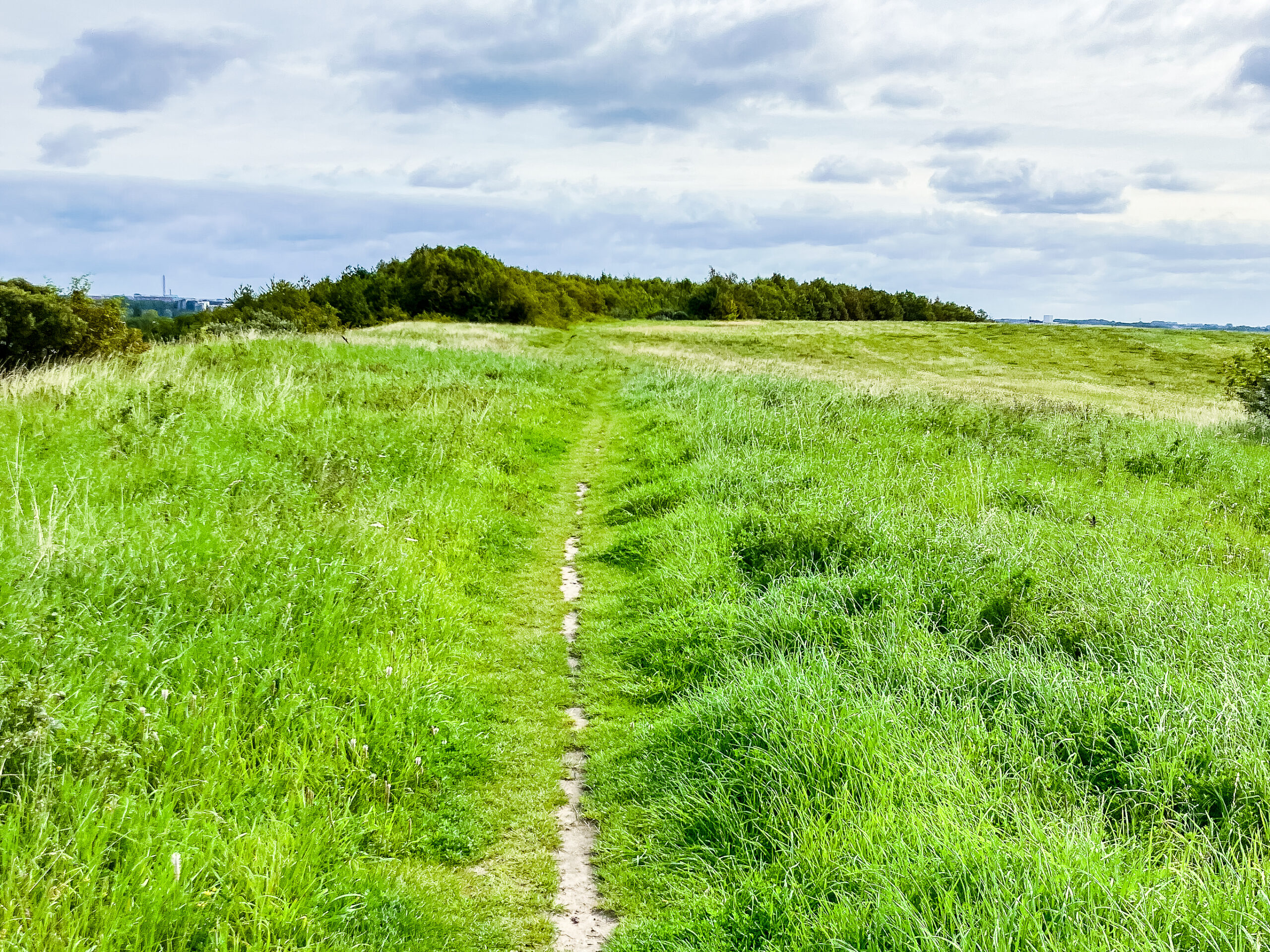
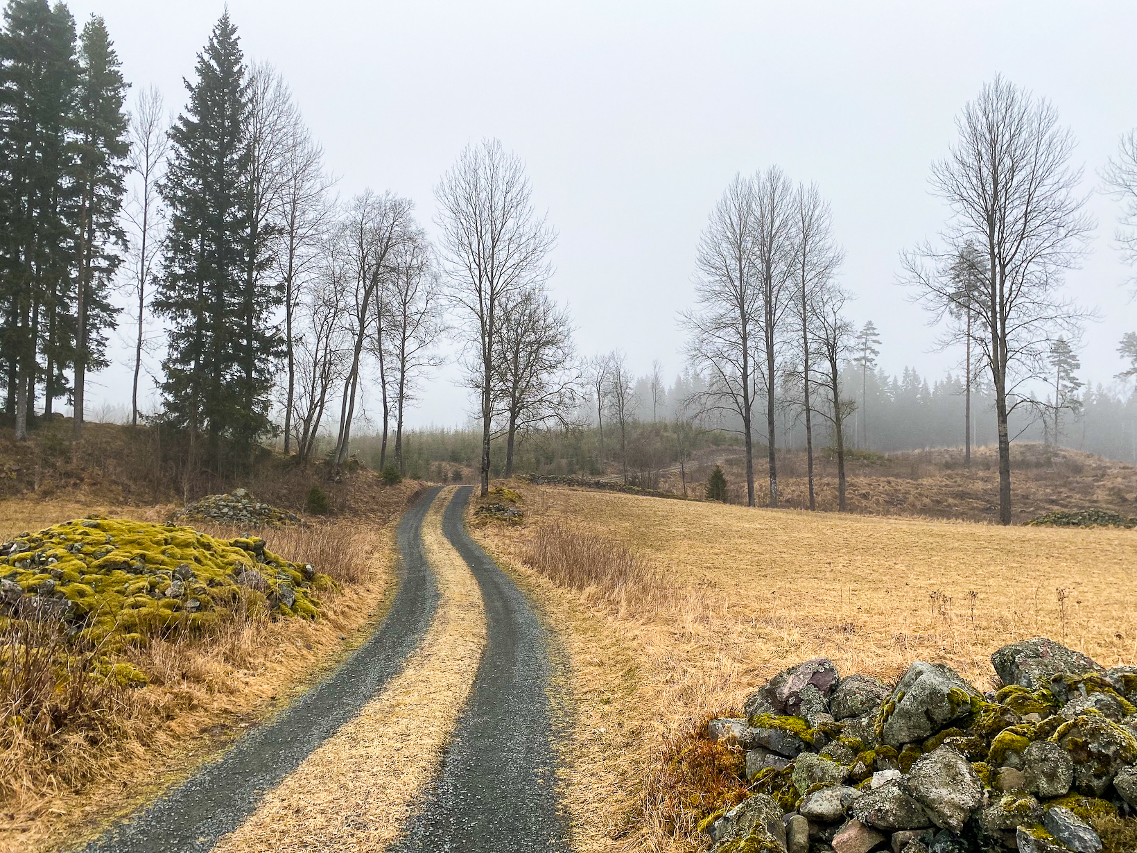
This is a really varied route with deep forest, open farmland and kilometres and kilometres of perfect gravel. But for all of these gravel roads, the trick in good graveling is to figure out how to link them altogether. This loop relies on four such links to join it all up.
Link one connects Ågesta/Vidja to Öran. An easy enough one to find at the end of the asphalt road. Steep up and a fast decent.
The second link takes you out of Öran towards Skogs Ekeby. After cycling through the village, a small single track can be found on the right just before the last house at the end of the road. Those on 40mm or thinner tyres might find these 200 meters a little tricky.
The third, and the important one from this tour links passed the scout hut at St. Pettersberg. Again, just before the last house and dead end of the road a sign will point you left towards St. Pettersberg hut.
PLEASE LOOK OUT FOR THE SIGN: DO NOT RIDE INTO THE GARDEN OF THE PRIVATE HOUSE.
There have been issues here!
There has been some tree felling on this trail making a bit of a mess and a steep exist back up to the gravel but its all short lived and worth the push.

The fourth is to link up the gravel and asphalt at Gladö. Stick to the right just before you enter the private gård and cut through the forest before joining up with the asphalt on the other side.

On the day we rode this route, we began from Farsta Strand Pendeltåg Station, a short ride to the start.
You can also begin from Huddinge Pendeltåg Station, Tungelsta Station or on the route at Hemfosa or Segersäng Stations.
Notes: This trail passes by many horse stables. Please be respectfully to the riders by notifying them of your approach. If you approach from the rear, make sure the rider knows you’re coming. It’s not always necessary to dismount your bike when passing by but always slow down and have good communication with the horse rider.In spring with higher water levels sections of the trail may become waterlogged. Please see notes on the map to show where.

Related Posts
Really, really nice route! Endless of gravel…. Thx for sharing!
Thanks for that. We’re lucky with the amount of gravel on Södertörn. Looking forward to riding it in the summer. I hear its even better in the dry 😉
The route pass Öran is on private roads where cycling is prohibited. Had to turn around twice because of this.
Hej Peter,
I’m very sorry to hear you had a bad experience today. Never nice.
Why did you have to turn around?Did somebody approach you?
There are many roads in Sweden that say the roads are private.
This does not mean you’re not allowed to cycle on them.
There are in fact, very few roads in the Stockholm region which you are not allowed to cycle on.
The most famous ones are Tyresta National Park and military zones ( of which it is only forbidden when they have training exercise. )
Before I set up this website I did a lot of research about allemansrätten and what it means.
I even spoke to the most senior adviser to the law ( actually a series of by laws ) in Naturvardsverket to get good advice.
It is actually very difficult to get a permit to block a road or trail from cyclist.
There are very few in existence. ( despite what many un-officail signs might say )
They’re mostly awarded to military installations, special protected environments or special agricultural land which has recently been awarded grants for farming etc.
These permit needs to be displayed and stating why they way is blocked.
The roads around Öran and the forest behind are not blocked.
Although, the forest intermediately behind is part of a hunting club land and at certain times of the year I’d be staying away 😉
Its not uncommon for cyclists to have run-ins with land owners.
One of the most notorious locations for this is Erstavik in Nacka.
Here, even though there’s not blocking permit the landowners are so aggressive with blocking cyclists most just stay clear.
I’ve never heard this for Öran. I’ve biked through the roads many times and anytime I’ve meet someone they have been very friendly.
Maybe today you just met someone having a bad day.
I would add, even though I know I’m allowed to bike along certain roads, if I met someone aggressive enough, I too would probably turn around.
Michael
Hello, thanks for this info. It seems that the mistake was on my part. Feel free to remove my comment so it does not distract other readers. I sent you a link to the route I took via mail.
Hej Peter,
No problem.
It was good you brought up the access issue.
I know where you had your problem.
The boom does its best to keep cyclists out but its easy enough to get around.
Next time carry on through and enjoy. Its great riding in and around there.
Hi. Wich gravel roads are of limits for bikes in Tyresta? I was under the impression that the roads to Långsjön and Stensjön are ok to ride but that the trailsystem is a no go..
Cheers Tobbe
Hej Tobias,
You are not allowed to ride in the national park.
Our route does not go into the park so it’s all ridable.
Enjoy
Michael
This was an amazing route! My friends and I did it yesterday and enjoyed every minute. Thanks for this site, I’m looking forward to ticking off more routes this Summer!
Hi
We rode this today. Great track except for the Detour to the singletrack. It might be due to logging in the area but it was not there. Great weather and LOTS of horses.
Thanks
Hi,
Did the Heart of Södertörn route yesterday. Beautiful!
Lots! of water in the early part (must have been a serious downpour the night before), literally submerged my foot while clipped in. The sign showing the St. Pettersberg(?) left turn into the small path hidden in the tall grass was very useful, as the guy at the summer cottage up the small hill seemed a bit peeved about me starting up his slope which led me to believe that I wasn’t the first one up there…
All in all, a great gravel experience so many thanks for sharing it.
I’ll be doing som gravel riding on Gotland in August, if I find some descent routes, I’ll post them here.
Keep up the godd work,
Best regards,
Eric T.
Hej Eric,
Yes, its a tricky left turn before the house.
I have it marked on the map and in the description but it can be easily missed.
Was the flooded section just after the long road out of Tungelsta but before Hemfosa?
This location is known for it. I just rode the Tyresta loop last week and we had flooding there. Ride-able but wet!
We’d love to see what you get done in Gotland.
Keep in touch and happy riding!
Michael